|
A new film by local experts on our chalk grassland Dave Bangs, Tim Andrews, & Paolo Oprandi have made a fantastic film all about the mosses, herbs, invertebrates, reptiles and birds to be found in our Chalk Grassland. They are assisted by some of the leading experts in their field, including Dave Goulson, Alice Parfitt and Neil Hulme. The film contains lovely footage of dancing Adders, jewel like beetles, orchids and fungi. Click on the link below to access and enjoy and please share it far and wide!
0 Comments
The recent British Ecological Society's 2021 report on on nature-based solutions for climate change in the UK has interesting statistics on the restoration to chalk grasslands:“Restoring permanent grassland via reversion from improved grassland or arable land, including the restoration of wet or chalk grasslands as part of a varied mosaic style landscape, can positively impact biodiversity and reduce GHG emissions. For example, figures from the UK Land Use, Land Use Change and Forestry (LULUCF) GHG inventory indicate that conversion of arable land to grassland has the potential for removing 8.72 million tonnes of carbon dioxide (CO2 ) per hectare per year (t.CO2 /ha/yr) across the UK.1 In contrast, conversion of grassland to arable land can result in net emissions of 14.29 megatons (Mt.CO2 e/ha/yr)1” https://www.britishecologicalsociety.org/policy/nature-based-solutions/ By Rachel H Hollingbury Hill, including the golf course, Hillfort and Wildpark is one of the largest Estate Downland greenspaces within the city. It is a Local Nature Reserve and part of South Downs National Park.During the lockdowns, when golf ceases to be played, this area becomes a haven for the communities who live next to it: Coldean, Moulsecoomb, Hollingdean and Hollingbury. In the spring and summer of 2020 more than 100 people an hour could be seen enjoying the Hill.
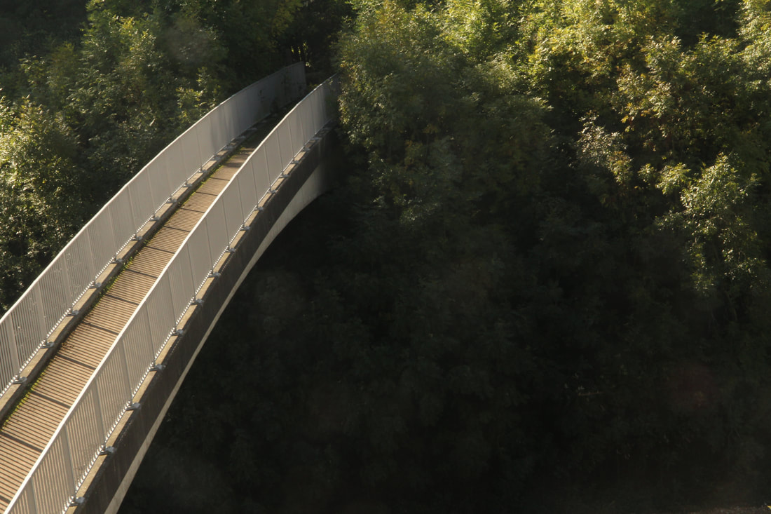
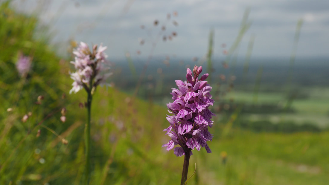
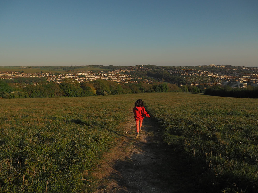
It makes a huge difference to the wellbeing of people who live nearby because you can walk out of your door to it, because it is large and freely explorable, because of its expansive views, and because of its wildlife. Nearby, freely explorable, nature-rich landscapes are recognised by Natural England as essential to human wellbeing. In the summer the summit and slopes are dotted with glow worms. In the spring it is covered in Early Purple orchids. Giant emperor moths emerge from their cocoons on the hillfort. Linnets shelter in the furze. Last spring my daughter and I learned all of the common bird songs there. The area was originally given to Brighton City Council for use as accessible public land, yet barely more than a year ago, in the teeth of the climate, mass extinction and mental health crises, and despite a petition, signed by 5216 people asking the Council to pause and reconsider the re leasing of the land, the decision to grant a lease to a private landlord has made it even less accessible to these communities. The process was not transparent, and reassurances made about the new landlord engaging with the community have so far proved empty. Last spring, the new golf course management used banned pesticides on the greens. Fertilizers, used to keep the driveways a monoculture, risk leaching nitrates into the water supply. The new golf management have so far refused to engage with a plan to manage the land for nature by looking at best practice for golf courses, which would entail simple measures like gathering up plant material when they cut the roughs, resulting in a much larger diversity of chalk grassland plants developing, and less work cutting back in the future. The rampion, a chalk grassland native, known as Pride of Sussex, used to bloom all over the summit of the Hill. Last summer we found one sole remaining flower. To prevent something like this happening again, the Whole Estate Plan must change how the Brighton Downs Estate manages the land so that decisions on leasing council land or buildings consider public values first: the mental health of local communities, the survival of nature, mitigating the climate emergency, rather than viewing the land simply in terms of a real estate commodity. Made by a team of volunteers in the last few months of 2020, this film takes you on a tour of Downland owned by the people of Brighton and managed in perpetuity by Brighton & Hove City Council. Traversing the Brighton Downs from West to East the film takes in the highs and lows of downland use and management. The film shines a light on the history of the downs and the animals and wildlife that live on it's shrinking chalk grassland. By Jane Lyons It's a joy to be able to leave your front door on foot or by bike to find your way up into the Downs. But, because the Brighton By-pass (A27) separates the city from the downland we have to find ways over, or under it, and this isn't easy. There are footbridges and tunnels, as well as some dangerous road crossings such as Old Boat Corner, but most are poorly signposted making them hard to find.
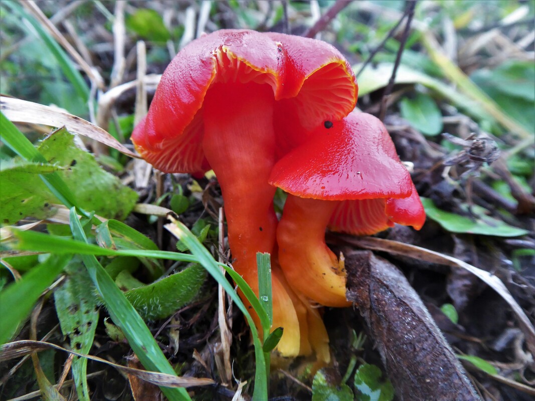
Once you're out, there are roads that sever the land with no way across for miles, and others are very dangerous. Crossing the A23 South of Pyecombe means a long walk to the Braypool footbridge, and walking out from Bevendean or East Moulescomb, you take your life in your hands to cross the Falmer Road. Cars speed along Saddlescombe Road where the footpath crosses it on route to Devil's Dyke, and the public footpath from the Hollngbury Estate to Hollingbury Hillfort takes you across the Ditchling Road on a blind bend. I could go on. At the recent Whole Estate Plan consultation, the lack of safe foot and bike ways out from the city was one of the main issues flagged. More off-road routes, better signposting, safer crossings, and traffic calming, would encourage many more of us to walk or cycle out. Car use is one of the main local contributors to carbon emissions. If the Council are serious about their climate responsibilities, they must include these improvements to our Active Travel opportunities in the Downland Estate plan. by Jane Lyons I love looking at the names of places on the Brighton and Hove OS map. Big Bottom, Dencher Bottom, Moon's Bottom, Ewe Bottom, Home Bottom, enough Bottoms to make any group of school children giggle. Out on foot in our Downland Estate, these Bottoms become steep-sided valley bottoms where, depending on the time of year, I might find Rampion, Orchids, and Waxcap Mushrooms. They're areas of Open Access Land, so places I can wander in, dawdling and looking, savouring being out and about in our beautiful Downland landscape. I can slow down and get to know the land here.
Not all of our Downland Estate is accessible for wandering because, surprisingly, most of it isn't designated Open Access land. In most places I have to stick to narrow footpaths and bridleways because that's all I'm allowed to do. That's great if I want a walk, and we are lucky to have such a good network across our Downland Estate, but they don't have the same feel as the Open Access land and they don't offer me the same things. They're routeways, they take me from one place to another. Open access land is a place in itself. Let's have more of it. post by dave bangs Make sure youse all highlight our demand for statutory access land designation on all Brighton Downland Estate land currently in Brighton's direct management, or which becomes available for new management when an existing farm tenancy ends, or is up for re-negotiation. Linear footpaths and bridleways just aren't good enough for appreciating wild nature and the Downs. Huge swathes of our giant Downland Estate are without open public access, though they were largely bought to safeguard such free and open public access on the old Down pastures (as well as, initially, for aquifer protection). In Scotland, Scandinavia and much of Europe elsewhere people have a right of access to ALL countryside - with the obvious exemptions of growing crops, quarries, gardens and yards, golf courses etc. In Sweden they call this ancient right 'allemansratten' - 'every man's right'. We need a 'mini-allemansratten' for the whole of the Brighton Downland Estate!!! Statutory access land ('right to roam' land) gives the public: - - a right of access in perpetuity, - a right of access to all walkers (but not to motor vehicles or horse and cycle riders), - a right to walk a dog, though it must be on a short lead in the bird breeding season (1st March to 31st July) and in the presence of livestock. - It does not give rights of access for commercial activities...and this includes commercial dog walking. - Additionally, the Council can place a Public Space Protection Order (PSPO) upon its open land to control anti-social behaviour with dogs. (Fouling, aggressive behaviours et al). These 'PSPOs' supercede the old Dog Control Orders. This right of access represents a constraint against future attempts by councils to sell our Downland, because its statutory perpetuity would limit the ability of the council to sell the land at full market value. It is thus an additional important protection for the permanence of the land as a public resource, free to all. Statutory access land does NOT constrain the council or its tenants' ability to manage the land with livestock. They can set aside up to 15 ha (37.5 acres) of land for lambing for 6 weeks, and can exclude in-use stock holding pens from public access. Existing public access provision on the Estate is patchy and largely permissive only. - The Council's great success was the designation of 90% of Patcham Court Farm as statutory access land...for which we must thank Green Cllr Pete West. - Two other farm units have major footprints of statutory access land: Balsdean (around Castle Hill), Plumpton College (at Plumpton Hill). - Seven large farms have zero open access by statutory right: Waterhall, Standean, Balmer, Housedean, Pickershill, New Barn Ovingdean, Home Farm Stanmer. - Four farms have only small amounts of statutory access land on slivers of archaic chalk grassland: Mile Oak, New Barn Portslade, Upper Bevendean, and Grange Farm Ovingdean. - Four farms have a major footprint of formal permissive access land: Paythorne, Grange Farm Ovingdean, Stanmer Home Farm, Standean at Patchway. One of the most shocking things under the first Covid lock-down was to see huge areas of our public Downland remaining empty, when so many isolated and frustrated people needed to escape their cramped homes. Yet, during early lock-down, my sight of a large family - mum, dad and kids - free roaming across Loose Bottom Down, Falmer, was truly exciting! They walked it just as their grandparents would have done 70 years ago - before the bulldozers and ploughs destroyed its ancient open pastures and furze thickets. They treated the land like they own it - AND THEY DO!!! post by dave bangs Current discussions of landscape in BDA have largely been subsumed under the discussion of chalk grassland...and that makes a sort of sense...because the restoration of chalk grassland has to be done at a landscape scale.
However this topic has a very much larger presence. Conserving diverse landscapes types is an imperative, in tandem with conserving diverse species and ecosystems On one level 'landscape' is just the MACRO expression of ecosystem or systems. The Wealden landscape IS its woods, in the sense that those woods are the dominant expression of the particularity of that landscape. When we flag up the issue of diversity in our discussion of the conservation of nature (species, ecosystems) we ALL agree that diversity is key...that is, the most biodiverse ecosystems must be the most important for us. Yet the issue of diversity of landscape is rarely recognised to anything like the same degree in public discussion. It is absent or marginalised. The specialness / uniqueness / particularity of the treeless open pastoral landscape of the eastern Downs is under-recognised managerially as a quality of value in its own right. This specialness is recognised as a value at the level of individual (fragmented) chalk grassland sites...but not at the level of its expression as 'landscape'. Cultural bias in landscape conservation We note that the Stanmer Park sub-landscape gets a special option box in the WEP options on line survey...whereas the Castle Hill sub-landscape gets no such special treatment. Yet Castle Hill's sub-landscape is the only place which has an INTERNATIONAL level of recognition for its public value...as an SAC (Special Area of Conservation) as well as NATIONAL statutory protection as an NNR (National Nature Reserve) and SSSI (Site of Special Scientific Interest). Objectively Castle Hill's sub-landscape is by far the most important sub-landscape-scale conservation responsibility for our City, and yet its level of recognition pales compared to the recognition and resources that Stanmer Park enjoys. Class, access & mobility, and history Landscapes are valued culturally in ways that are influenced by class, access and mobility, and history. Kim Wilkie (the landscape architect contracted to BHCC for the WEP consultation) and Savills (BHCC agricultural agents) highly value aristocratic designed ornamental parks like Stanmer. They share that aesthetic with many of their wealthiest clients / customers. Brighton people value Stanmer because of its high and uninterrupted levels of public access of a high standard and its proximity to the urban fringe...and we have a high regard for its extensive inter-connected woodlands. Yet woodlands of vastly greater extent and biological and cultural richness exist just 'over the hill' in our nearby Weald...the most wooded landscape in Britain...with the greatest percentage of ancient woodland. Travelling times are not much greater for City of Brighton people to many Wealden woods as to Stanmer, yet the Wealden woods much smaller cultural recognition and poorer public access leave most of them unknown to us folk in Brighton. In our recent history many cultural workers - writers, painters et al - valued Brighton's "wise turf" and "bare" downs - "blunt, bow-headed and whale-backed" - and valued their sharp contrast with the glimpsed views of the Weald's "wooded, dim blue goodness". Now that outpouring of creativity has dried up in the face of the trashing of the chalk grassland mantle by agribusiness and food imperialism. It was not always as it is now Over 2OO years ago the Prince of Wales chose Brighton as a resort, in part because its unimpeded high, inter-visible open sheep walks were a kind of paradise for horse racing aficionados like him and his class. Through the next 150 years ordinary folk too came to share that love (through new rail & road access and rising levels of leisure). Appreciation of the unimpeded open Downs grew through the whole of the 19th century and right up to the post-World War Two period, when the last phase of breaking and fragmentation of the down pasture mantle destroyed our Downs as a 'landscape of freedom' and left its aesthetic of organically shaped rolling openness anchored merely in its landforms and no longer in its extraordinary richness of wildlife. Thus, the qualities of openness survived at the MACRO level (huge, inter-visible uninterrupted views) but were destroyed at the MICRO level - the flowers, the scents, the sky music of larks, the humming richness of little beasties, the fencelessness, the soft and springy turf... Cultural breakage When, about 1990, I came back to Brighton (my home town) after more than 20 years away (in part to take part in Downland conservation campaigning after the trauma of the Brighton Bypass building) I was shocked to discover that the cultural resonance of the open treeless Downs had declined even further in those decades (though it was already greatly weakened beforehand). Brighton is a town of new arrivals and many / most of those arrivals did not know what had been so recently taken for granted here. Monbiot's 'shifting baseline syndrome' (i.e. 'moving the goalposts') had stepped up its work in those decades. Many Brighton people have not been given the sense of the open, smooth, rolling, treelessness of the Downs as being core to its specialness, its distinctiveness...though we would readily recognise that openness as a special quality of moor and fell on Dartmoor, Exmoor and the Peaks. The move to uniformity as nature fades away As they decline we see our ecosystems shed their multitude of specialised and scarce species and move toward the dominance of a small number of opportunist and generalist species. On Whitehawk Hill we see the Dartford Warbler, Stonechat and Linnet, the Warblers, the Skylark and Meadow Pipit replaced by Wood Pigeon, Blackbird, Robin and common tits. We see this process of simplification and loss even on our bird tables. This process has its corollary in our landscapes too. The difference and the diversity of the Weald and the Downs - which was as sharp as black and white 150 years ago - is fading under the influence of agribusiness farming and neglect of relict high value ecosystems. We must reverse that process of loss The Whole Estate Plan gives us a chance to plan the reversal of this process of simplification and banalisation of nature and landscape. Our eastern, bare, open Downs with their rich mantle of "wise turf" were always at the core of the 80 years old project for a South Downs National Park. Those landscape qualities that drove that project to success must be at the centre of our Brighton Downland Estate management too... post by dave bangs, Author of "A Freedom to Roam, Guide to the Brighton Downs"
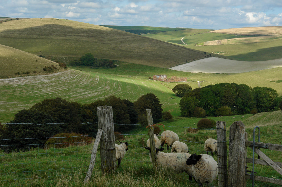
Chalk grassland functions at a landscape scale. It is only sustainable at that scale. Many of its special species and groups of species depend upon a very large footprint of open grassland to move across in response to climate and management fluctuations, competition & other exigencies. At the top of the scale of size we see its mega fauna (Great Bustards et al) only able to survive at the scale of Salisbury Plain...but Musk & Frog Orchids, the heathers of the chalk heath sub-system, Wartbiters and other small beasties, herbs and lower plants need large variable open matrices for their life cycles and long-term survival. Chalk grassland can't survive as small fragments The 180 shattered fragments of its ancient mantle on the Brighton Downs are intrinsically vulnerable to species loss and attrition from woody vegetation, farm sprays, dereliction and breeding failure. On one tiny-but-rich fragment I have watched Adonis and Chalkhill Blue, Heath and Carthusian Snails disappear in recent years Small sites are difficult to graze and manage. Even at the Castle Hill complex there are / were a number of small 'island' sub-sites that are losing cover and biodiversity through dereliction. Chalk grassland's survival chances are reduced by the proximity of wood and extensive scrub. It is not for nothing that Salisbury Plain's huge species-rich grasslands have survived more or less intact for 200 years since the Napoleonic plough-ups were reversed. Its large-scale treelessness meant that there were no sources from which woodland could invade. It is a stable ecosystem. By contrast, the West Sussex Downs' historical mixture of BIG woods and BIG sheep pastures in close proximity meant that when the economy of large-scale livestock pasturage collapsed the woods invaded all over. Chalk grassland is almost extinct except for fragments at Kingley Vale, Harting Down, et al - and woodland has invaded their footprint on a massive scale. Whitehawk Hill's patchwork of scrub and grassland meant that it took a mere 15 years of under-management for scrub to invade about 60% of the chalk grassland we had restored or which survived. .. Grazing ISN'T sufficient for chalk grassland management There has been much talk of "natural processes" - i.e. hands-off free range grazing alone - conserving chalk grassland in a sustainable way. It is not true. Scrub MUST be kept under control by human management...which took place in the past for livestock winter litter and forage, for thatch, firing (e.g. bakers' ovens) and small scale construction (tools, hurdles, dead hedges et al) for local domestic and wider economies. We have to ROLL-BACK invasive scrub in many places - often drastically - if shrinking chalk grassland sites are to survive in the long term. Scrub is good and scrub is bad Scrub is part of the chalk grassland ecosystem - but a minority part. A whole suite of species like Stonechat, Linnet, the Whitethroats, Yellowhammer and many mini-beasts need scrub for cover, breeding, hibernation, and forage...whilst depending on the larger matrix of grassland as well. Scrub can also form huge single-species thickets that are very poor for wildlife except common mosses and small numbers of co-dependant species. Ring Ouzel's on migration like bushes & little thickets on bare hillsides. They remind them of their homes on fell and peak. They won't hang about in wooded countryside. Multiple public values the restoration of the chalk grassland mantle is... ...good for nature...good for soil retention...good for food and clothes production...good for our recreation and delight...good for protecting the marks left by the ancient peoples...good for the eye to gaze upon "bare slopes where chasing shadows skim...clean of officious fence or hedge...half wild or wholly tame" Chalk grassland LOVES being trampled. It LOVES being eaten. It LOVES being sat on. It LOVES sheep and cow shit. That makes it pretty special!!! Our council owns a whole arc of Downland around the city of Brighton and Hove, so we get a say in how it is managed. The Whole Estate Plan is to decide how our Downland will be managed for the next 100 years. Register your views here. Take part via zoom in the consultation. 4 December 10am to 11:30am 12 December 10am to 11:30am There's been a fantastic response so these are extra sessions. |
Archives
August 2022
Categories |
 RSS Feed
