|
Made by a team of volunteers in the last few months of 2020, this film takes you on a tour of Downland owned by the people of Brighton and managed in perpetuity by Brighton & Hove City Council. Traversing the Brighton Downs from West to East the film takes in the highs and lows of downland use and management. The film shines a light on the history of the downs and the animals and wildlife that live on it's shrinking chalk grassland.
0 Comments
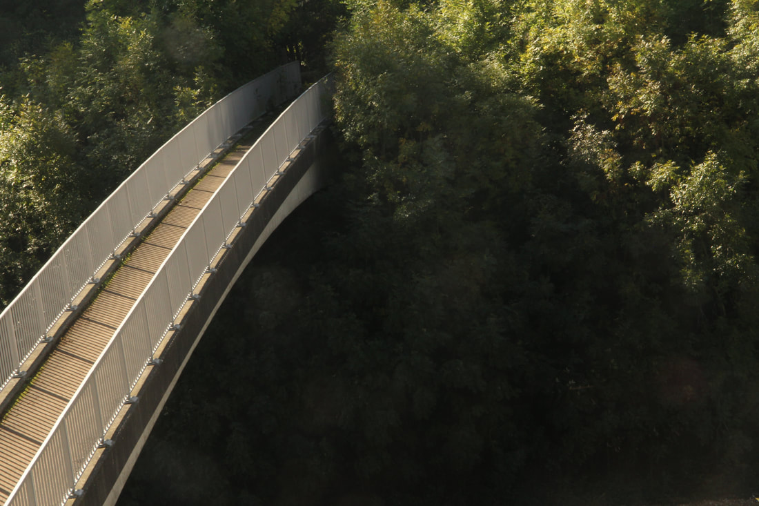
By Jane Lyons It's a joy to be able to leave your front door on foot or by bike to find your way up into the Downs. But, because the Brighton By-pass (A27) separates the city from the downland we have to find ways over, or under it, and this isn't easy. There are footbridges and tunnels, as well as some dangerous road crossings such as Old Boat Corner, but most are poorly signposted making them hard to find.
Once you're out, there are roads that sever the land with no way across for miles, and others are very dangerous. Crossing the A23 South of Pyecombe means a long walk to the Braypool footbridge, and walking out from Bevendean or East Moulescomb, you take your life in your hands to cross the Falmer Road. Cars speed along Saddlescombe Road where the footpath crosses it on route to Devil's Dyke, and the public footpath from the Hollngbury Estate to Hollingbury Hillfort takes you across the Ditchling Road on a blind bend. I could go on. At the recent Whole Estate Plan consultation, the lack of safe foot and bike ways out from the city was one of the main issues flagged. More off-road routes, better signposting, safer crossings, and traffic calming, would encourage many more of us to walk or cycle out. Car use is one of the main local contributors to carbon emissions. If the Council are serious about their climate responsibilities, they must include these improvements to our Active Travel opportunities in the Downland Estate plan. |
Archives
August 2022
Categories |

 RSS Feed
